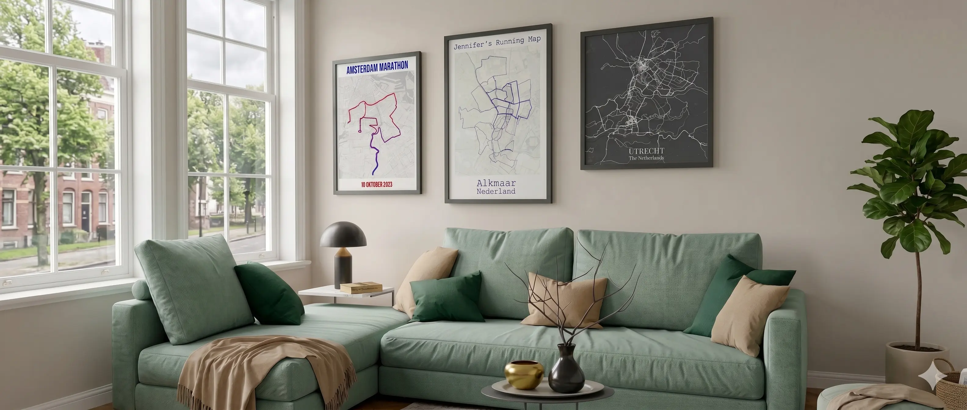
The little map on your activity page is a start. Here you pick one activity or a few hundred, put them on a map style you actually like, add your own title and stats, and take it home as a high-res PNG or a printed poster.
✓ Free preview · No account needed for GPX uploads
What it does
Strava is built for tracking, not for printing. Its own map is small, you can't change the background, and one activity is all you get. The editor takes the same GPS data and gives you control over every part of the final image.
Log in with Strava to browse your own history, or drop in GPX, TCX or FIT files from a Garmin, Wahoo, Coros, Apple Watch or any other device. Several files at once is fine.
Trophy Case pulls out highlights on its own: your longest ride, biggest climb, fastest marathon, or the past 12 months. Manual Selection gives you the full list with date and sport filters.
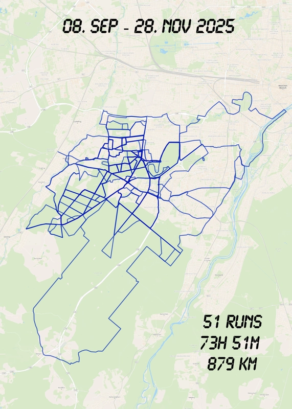
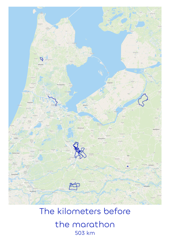
Select more than one and they all land on the same map. Color them per year, per sport, per day of a trip, or by how often you passed the same street.
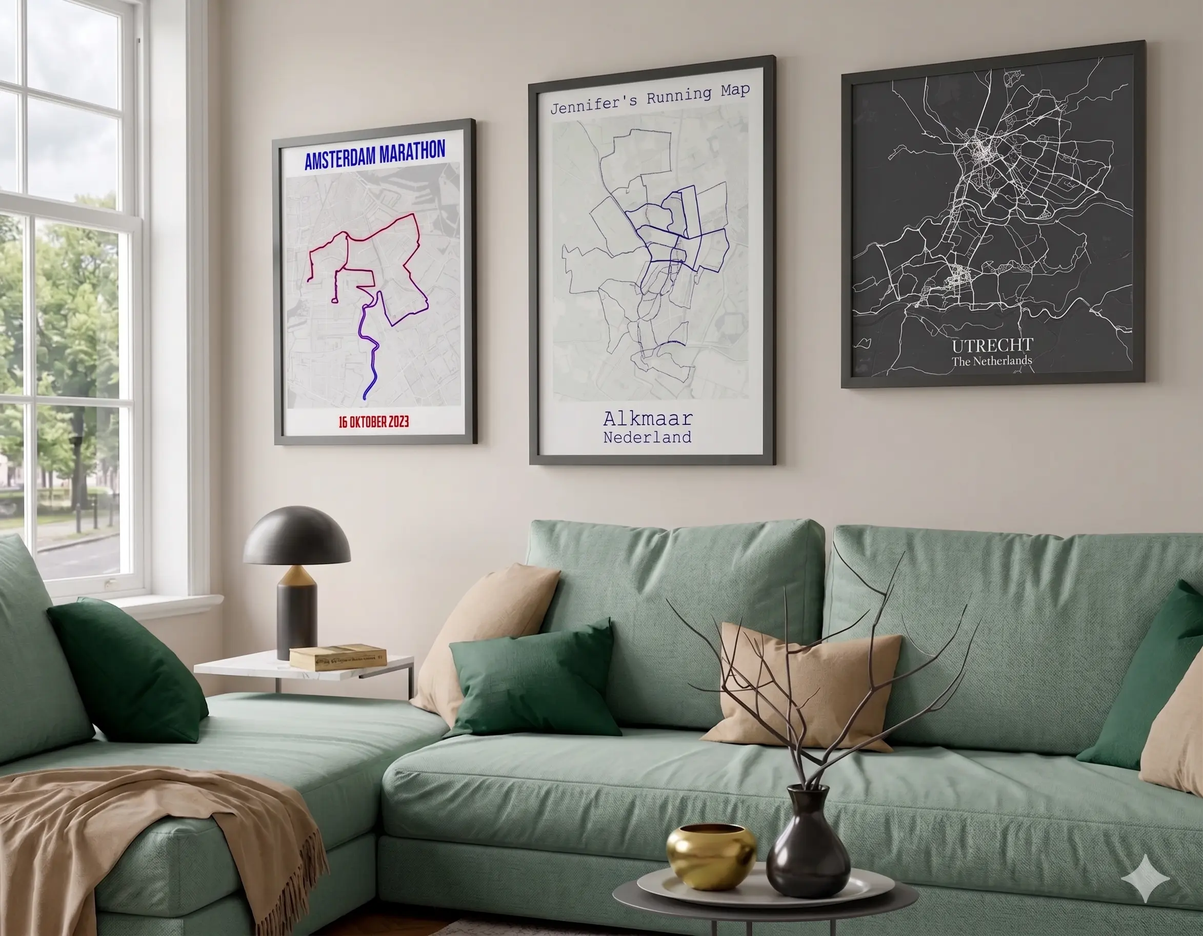
More than ten map styles, including Light, Dark, Satellite, Terrain, Relief, WaterColor and TopoGraphy. Add a photo border in any color if you want a framed look.
Pick one solid color with your own line width and opacity, or color a single route by altitude, gradient, speed, heart rate or power, when the file contains that data.
A title plus three lines of text, with suggestions for distance, elevation, time and dates taken from the activity. Optional elevation profile, your own photos and labeled pins on the map.

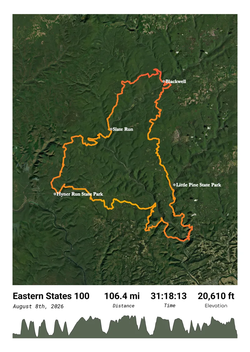
With a single activity selected, you get the features that only make sense for one route: an elevation profile, gradient coloring and text suggestions from that day's numbers. That's the natural pick for a race or a big day out. Select several and the map switches to a heatmap of everything you chose, which is how people end up with a poster of their training block, their commute, or every run in their home town.
The full editor guide walks through every option, step by step.
Examples
PNG, print or poster
Free download
Free
Low-resolution image sent to your inbox, good for a post or a phone background
Digital download
Your Strava map as a 300dpi PNG (PDF too), ready for any print shop
✓ Preview for free first. You only pay when you like the result.
Strava map poster, printed and shipped
From €24.95 · Incl. VAT & free shipping
Paper
240gsm
Delivery
4 to 8 business days
Sizes: A4 (€24.95), A3 (€32.95) and 50×70 cm (€44.95). Printed by a partner close to the delivery address.
Order a Strava map print →A few minutes
Open the editor and choose "Import from Strava" or upload your files. No file at hand? "Try Demo" loads sample activities so you can look around first.
Start from a finished customer design or a blank one. Choose the map style, route colors and size, then add a title and your numbers. The preview updates as you click.
Keep the free low-res version, get the 300dpi PNG for €7.95, or have it printed from €24.95. Checkout runs through Stripe.
✓ Free preview · No design skills needed
You don't need their Strava password. A GPX file of the activity is enough, and the upload works without any account. Their first marathon, a club ride, the hike from your last holiday: if there's a file, there's a poster. Our gift page explains how to get hold of the file without spoiling the surprise.
Yes. A low-resolution image is free and arrives by email, which is fine for sharing online. The paid digital download is a 300dpi PNG, sharp enough to print at the size you designed it for, and you can also save it as a PDF.
Yes. Select as many activities as you like in Manual Selection, filtered by date range and sport type. With more than one selected, the map shows all of them together, and you can color them by year, by sport, by day of a trip, or by how often you passed a spot. For a poster of everything you've done, see the Strava heatmap poster.
No. You can upload GPX, TCX or FIT files instead, with no account and no login. Connecting Strava is simply quicker when you want to pick from your own activity history. Need a file from Strava first? The free Strava Activity Export tool downloads activities as GPX, TCX or FIT.
No. My Adventure Maps is an independent studio. When you choose to connect, you approve read access on Strava's own login page, and the editor then loads your activities. Nothing is posted to your Strava account.
Printed posters come in A4, A3 and 50×70 cm, in portrait or landscape. Each size shows its own price in the editor before you order. The digital download comes in any size, square ones included.
Yes. You can zoom and pan the map so your front door is out of frame, or run the file through the free GPS Privacy Crop tool first, which removes any part of the track you click on.
More questions? See the FAQ page or the editor guide.
Related
Pages for a specific kind of poster, plus the full walkthrough.
The preview is free, so you can try a few styles before deciding on PNG or print.
Make your Strava map →100% Satisfaction Guarantee
Not happy? You get your money back, no questions asked.
