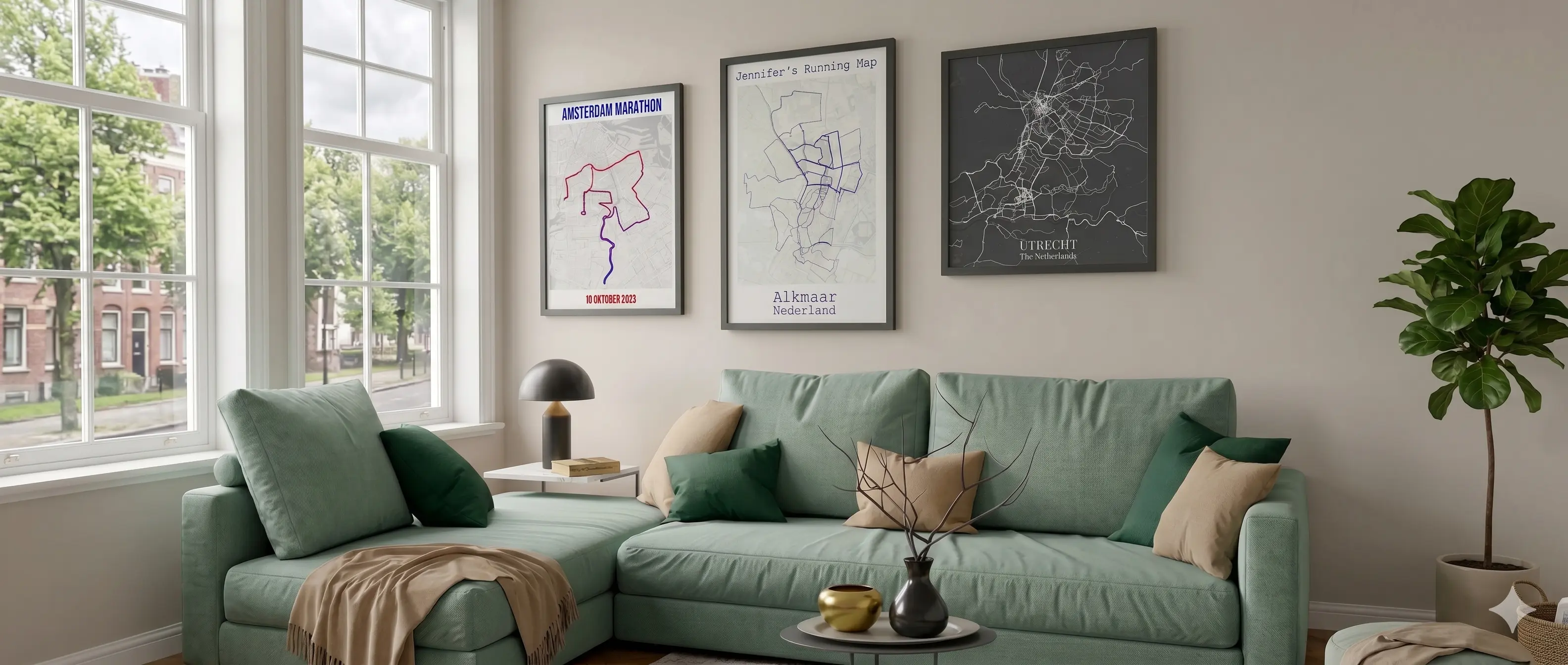
Whether it's a century ride, a mountain epic, or your daily training loop, turn your Strava data or GPX file into a print-quality cycling poster. Choose your colors, add an elevation profile, and order a print shipped worldwide.
✓ Free preview · No account needed
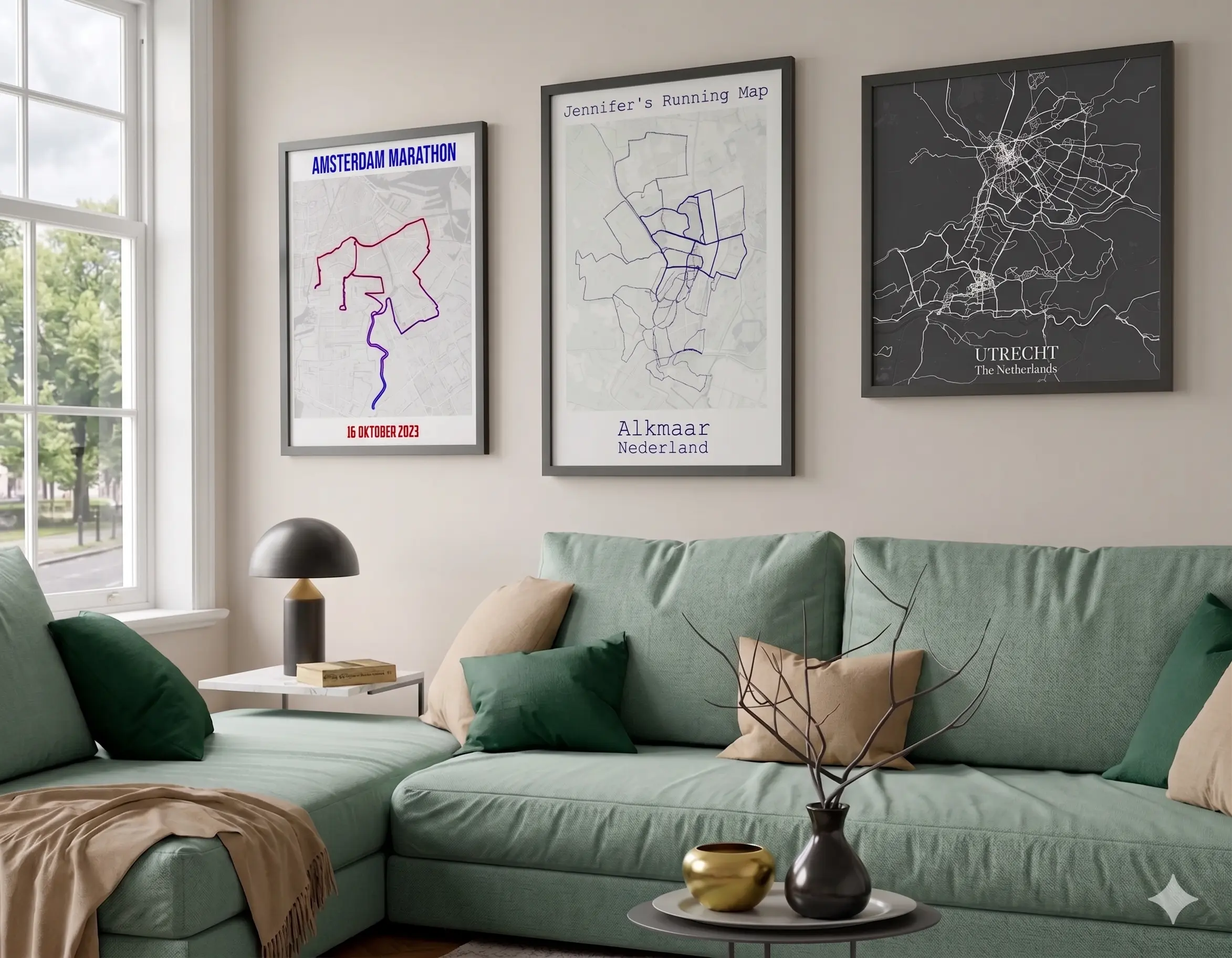
Cyclists are notoriously hard to buy for. Most already own everything they need. A custom cycling route poster made from their actual Strava data is different: it shows their favorite climb, their longest ride, or the route where they finally hit that target wattage. It goes on the wall and means something. Upload your GPX or connect with Strava to pull in any cycling activity.
“I wanted some personalized maps and Pieter was super nice and helpful. He was very patient understanding what I wanted, and all the maps he printed for me were amazing! I recommend My Adventure map 100%!”
Carolina, United Kingdom ★★★★★
Real review from Trustpilot, quoted as written.
Pricing
Free preview
Free
Low-resolution cycling poster
Digital download
High-res cycling poster PNG and PDF, printable anywhere
✓ Free preview available. Upgrade for full resolution.
Premium cycling wall print
From €24.95 · Incl. VAT & free shipping
🎁 The cycling gift that goes on the wall
Paper
240gsm
Shipping
Free
The Poster
Your bike computer tracks every meter of climb, every bend in the road, and every personal record. A custom cycling route poster takes that data and turns it into something you actually want to look at. Whether it's a Tour de France stage, a coastal sportive, or the loop you ride every Saturday morning, the result is a clean, detailed map print that captures the ride as it actually happened.
Add a clean elevation graph along the bottom of your poster. See every climb and descent at a glance, exactly as your GPS recorded it.
Pick any color for your route line. Match your team kit, your bike color, or just whatever looks good against your chosen map style.
From clean minimalist to detailed topo. Light, dark, watercolor, and more. Every style works for road and mountain bike routes alike.
Order a premium 240gsm wall print delivered to your door anywhere in the world. Or download a high-res file and print locally.
Rated 5 stars on Trustpilot by cyclists and runners around the world.
Every corner, every shortcut, every detour. Your poster shows your ride exactly as it happened, not a generic route image.
2 minutes
Click the button to open the map editor. Upload your GPX, TCX or FIT file, or connect with Strava to import any activity from your history.
Choose your map style, set your route color, toggle the elevation profile on or off, and add a title. Live preview as you go.
Download a high-res PNG or PDF for €7.95 and print anywhere you like. Or order a premium 240gsm wall print from €24.95 including free worldwide shipping.
✓ Free preview available. Upgrade for full resolution.
Also available
Create a custom poster for any sport or adventure.
Beyond the ride
Connect Strava and compile years of cycling, running, and hiking into a single artistic heatmap poster.
Upload your GPX or connect Strava and see your cycling route as a poster in seconds.
Design your cycling poster →100% Satisfaction Guarantee
Not happy? You get your money back, no questions asked.
If you're framing one specific ride, a sportive, a weekend loop, the day you finally beat your own time, single route mode is usually right: one clean line, easy to read at a glance. If you commute the same stretch five days a week, or you've logged years of weekend rides around home, heatmap mode pulls in every activity you upload and layers them into one dense network of streets and lanes, which tells a completely different story than any single day could.
A flat route color is the safer choice if the ride covered mixed terrain and you don't want one number dominating the picture. Coloring by elevation makes sense if there was real climbing involved and you want that effort visible at a glance. Coloring by pace suits rides with a clear tempo story, a long flat sportive where you pushed the pace in the second half, for example. Try a version of each in the editor before you commit.
Everything that makes the ride recognizably yours: the map background, route color and line weight, a title for the ride or the road it followed, your name, distance, elevation gained, and moving time. Upload your own photos from along the way, choose the paper size and orientation, and if you rode it with someone else, combine both Strava accounts on the same map with Together Mode.
Yes, that's really what this page is for. You don't pick from a list of named routes here, you upload your own file. Connect Strava directly or upload a GPX, TCX, or FIT file exported from your bike computer or app, and any ride works: a sportive, a weekend loop, a multi-day tour, even a regular commute. The map is drawn from your file, not a preset template.
More questions? See our full FAQ page.
