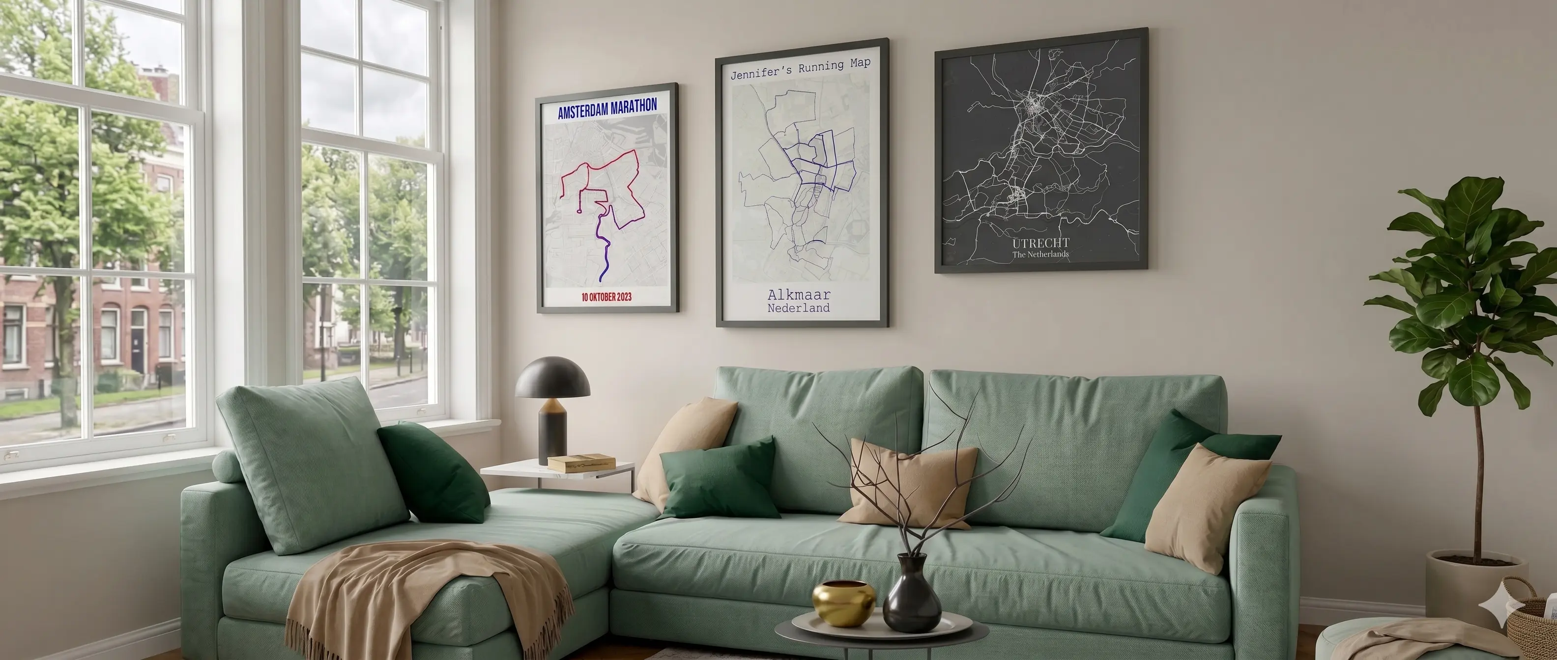
Days in the saddle, wild camps, mountain passes, and roads you found by chance. Your bikepacking route deserves more than a KOM notification. Upload your GPX file and turn the whole journey into a single, stunning wall print.
✓ Free preview · No account needed
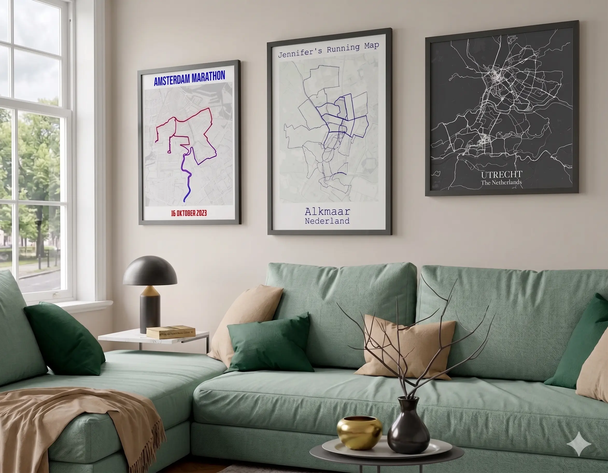
A bikepacking trip is more than a cycling event. It is a week or more of decisions, detours, and discoveries that nobody else shared. A custom bikepacking route poster captures the full arc of that journey: from the start point to the last night's camp, every pass crossed and every road taken. Multi-day GPX files can be large and complex, but our rendering engine handles them smoothly. No lag, no dropped points, no missing sections. The complete route, printed in sharp detail.
“Found this little gem on Reddit.
Map creation is easy & quick - very intuitive. Many styles and customization available. I ordered the downloadable version which was delivered very fast.
I encountered a problem during the payment process. Unfortunately, my map was lost. I was issued a refund within minutes and received a personalized email from Pieter - that’s the kind of customer support you would want (and rarely get)!
Absolute recommendation, great project & I’ll certainly order again!”
Julian, Germany ★★★★★
Real review from Trustpilot, quoted as written.
Pricing
Free preview
Free
Low-resolution bikepacking poster
Digital download
High-res bikepacking poster PNG and PDF, printable anywhere
✓ Free preview available. Upgrade for full resolution.
Premium bikepacking wall print
From €24.95 · Incl. VAT & free shipping
🎁 The adventure gift that goes on the wall
Paper
240gsm
Shipping
Free
The Journey
A 3-hour cycling route makes a clean poster. A 7-day bikepacking route makes a piece of art. The distance, the terrain, and the sheer scale of a multi-day adventure translate beautifully onto paper. Every pass, every river crossing, and every forest track shows up in the map detail. Add the elevation profile and the full story is told in a single image.
Our rendering engine handles multi-day bikepacking files smoothly. Upload routes of any size without lag or missing sections.
See every pass and every valley across the entire journey. The elevation profile runs along the bottom of your poster and covers the complete route.
Choose a topo-style map background to show the terrain your route crossed. Every col and valley becomes visible in the map.
Mark camps, summits, and resupply points with custom labels on your poster. Tell the story of the trip on the print itself.
Premium 240gsm prints shipped worldwide. Order from anywhere and receive your adventure poster at your door.
Rated 5 stars on Trustpilot by cyclists and adventurers from around the world.
2 minutes
Open the editor and upload your bikepacking GPX file. Multi-day files load quickly regardless of size. Or connect Strava to pull in your recorded activities.
Pick your map style, set route colors, and toggle the elevation profile. Add a title like the route name or dates of the trip.
Download the high-res file for €7.95 or order a 240gsm wall print from €24.95 with free worldwide shipping.
✓ Free preview available. Upgrade for full resolution.
Also available
Create a custom poster for any sport or adventure.
Beyond the trip
Connect Strava and compile years of cycling, running, and hiking into a single artistic heatmap poster.
Upload your multi-day GPX and see the whole adventure as a poster.
Design your bikepacking poster →100% Satisfaction Guarantee
Not happy? You get your money back, no questions asked.
Quite a lot, and most of it matters more on a trip like this than on a single afternoon ride. Route color and line width, map style, title and date, distance and total elevation gained across the whole trip, your name, and photos from along the way. If someone rode part of the route with you, Together Mode lets you combine both tracks on the same map.
If the whole trip was really one continuous journey from start to finish, single route mode keeps it as one line, showing the full distance you covered day after day. Heatmap mode makes more sense if you explored side trails, doubled back, or took a different way home than you came, since it shows every track you uploaded rather than forcing them into a single line.
A plain color usually suits the overall shape of a long trip best, since the route itself, crossing whatever mountains, coastlines or borders you rode through, is already the point. Coloring by elevation is worth it if the trip mixed serious climbing days with flat ones and you want that contrast visible on the map. Coloring by speed matters less here than on a single ride, since pace naturally varies a lot across multiple days of touring.
Yes. Upload the GPX files from each day of the trip, exported from Strava, Komoot, or your GPS device, and the map is built from your own track rather than a preset route. That works whether you followed a named long-distance trail or planned the whole thing yourself.
Yes. The map automatically scales and centers itself to fit the full extent of whatever you upload, whether that's a loop through one region or a route across several countries. Upload each day as a separate file and combine them into one continuous route, or use heatmap mode if the days don't connect into a single line, and the poster will show the entire trip at once rather than cropping any of it out.
More questions? See our full FAQ page.
