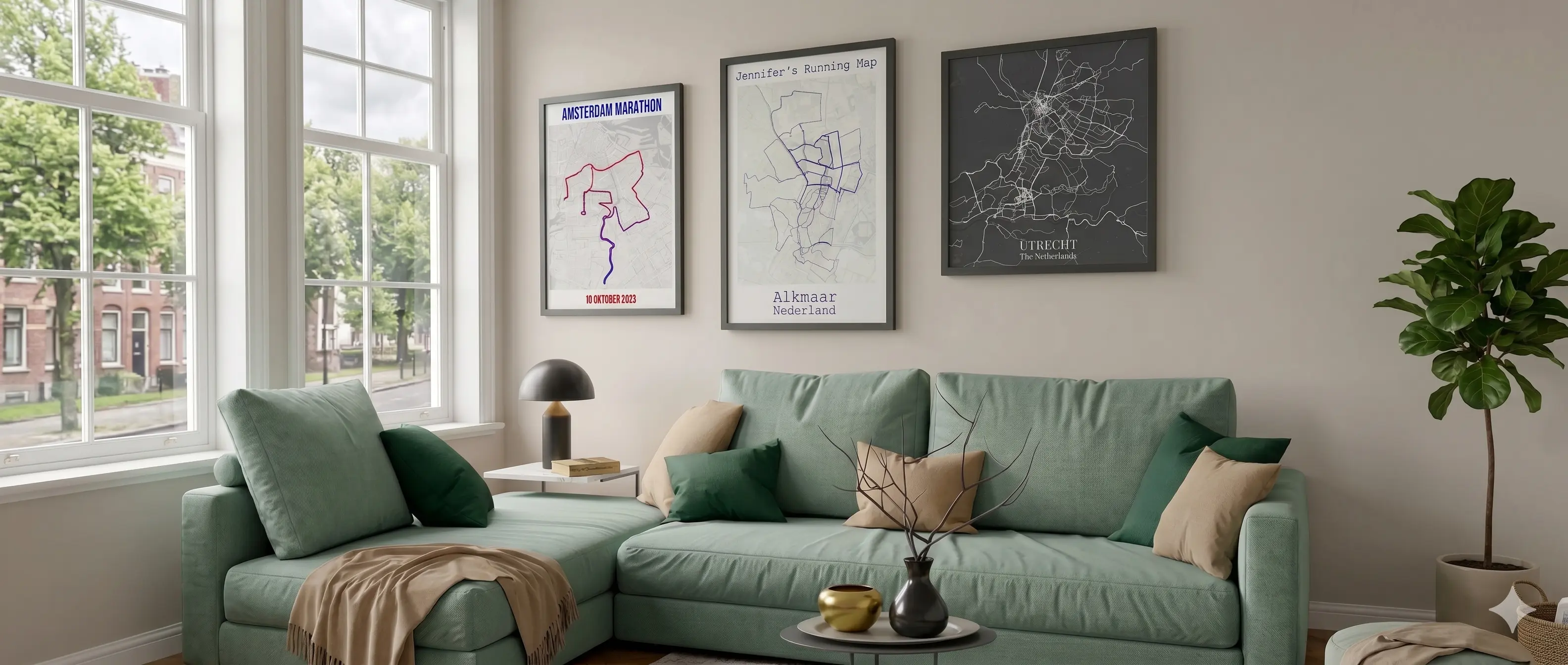
Table Mountain was in view for nearly every kilometer. The cold Atlantic air came in off Sea Point. You finished on the Grand Parade with the mountain still framing everything behind you. Turn your Strava data or GPX file into a poster that actually captures what this course looks like.
✓ Free preview · No account needed
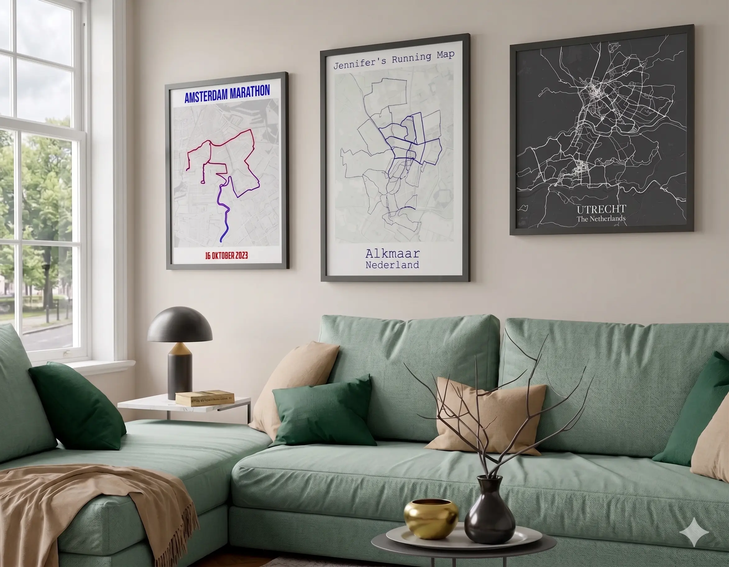
The Cape Town Marathon is on many runners' lists for years before they actually go. World Athletics Platinum Label, Table Mountain visible for most of the course, cool September air off the Atlantic. A custom Strava poster with their name, finish time, and the exact GPS line they ran is a gift that finally does justice to the course.
“My created map came out as expected. As of now the downloadable map is sent within one business day. 10/10 would use this Site again!”
Nickolas F Richter, Germany ★★★★★
Real review from Trustpilot, quoted as written.
Pricing
Free preview
Free
Low-resolution poster
Digital download
High-resolution PNG and PDF, printable anywhere
✓ Free preview available. Upgrade for full resolution.
Premium marathon wall poster
From €24.95 · Incl. VAT & free shipping
🎁 The marathon gift that goes on the wall
Paper
240gsm
Shipping
Free
The race
The Cape Town Marathon runs along the Atlantic seaboard, past Signal Hill, through the City Bowl, and finishes on the Grand Parade with Table Mountain framing the skyline behind you. September is South African spring: clear skies, cool sea air, and wildflowers on the slopes. Runners come from across the world for the scenery alone. A World Athletics Platinum Label race that looks unlike any other course on the calendar.
Table Mountain is in view for most of the course. A 1,086-metre flat-topped mountain as a permanent backdrop makes this visually unlike any other road race in the world.
The course runs along the Sea Point coastal promenade, with the cold Atlantic on one side and Signal Hill on the other. One of the most open and dramatic stretches in marathon running.
Cape Town holds the World Athletics Platinum Label, the highest accreditation in road running. The same tier as Berlin, London, and Chicago, but with a course those cities cannot match for scenery.
The finish line is on the Grand Parade near City Hall, with Table Mountain filling the skyline behind you. The closing kilometer through the City Bowl is one of the best in the sport.
September in Cape Town means clear skies, cool sea air off the Atlantic, and wildflowers blooming on the mountain slopes. Running conditions that are as good as they look.
Every runner's path is slightly different. Upload your Strava or GPX data, add your finish time and name, and map the exact race you ran. Not a generic print: yours.
2 minutes
Click the button below and the Cape Town Marathon course opens directly in the editor. Or connect with Strava to import your personal GPS trace from race day for a fully personalized Strava print.
Choose from 12 map styles, pick your colors, and add your finish time, name, and a personal title. Live preview as you go. What you see is what you get.
Download a high-resolution digital file for €7.95 and print it anywhere yourself. Or order a premium marathon wall poster from €24.95, ready to hang, delivered to your door.
✓ Free preview available. Upgrade for full resolution.
Also available
Make a poster for other events too.
Beyond the race
Connect Strava and map every run, ride, or walk on a heatmap poster. Not just the race.
Turn 42.195 km under Table Mountain, along the Atlantic, and through the City Bowl into a poster you'll see every day.
Personalize your Cape Town Marathon Poster →100% Satisfaction Guarantee
Not satisfied? Money back, no questions asked.
Everything updates live as you work: swap the map background, pick a route color and line weight, add your title, name and finish time, choose the print size and orientation, and turn on stats like distance and pace. If you tracked the race with a watch or phone, that same GPX data can drive elevation coloring along the coast road too.
Since this course only runs once, most people picture a single line tracing the route from near the Grand Parade start down to the Sea Point finish. Heatmap mode works better if you spent months training along the same Atlantic seaboard roads and want that broader picture instead of just race day.
The Cape Town course has a few genuine climbs, out past Boyes Drive and through Fish Hoek, before it settles back along the coast. Elevation coloring shows that shape clearly if you want the effort on display. If you would rather keep the focus on the coastline route itself, a single clean color usually works better.
Most editions of the Cape Town Marathon route are already loaded in the editor. If your specific year isn't there yet, tell us and we'll add it before your order ships. That also makes it a good surprise gift, since you can order the poster before you have the runner's finish time, name, or photos and add those in later.
The map background is a stylized design rather than a photo, so Table Mountain and the ocean don't appear as literal scenery. What does show is the shape of the route itself, tracing the coast road with the mountain right beside it, which is usually enough to make a Cape Town poster instantly recognizable. If you want the actual view of the mountain or the sea in the frame, you can add your own photo from race day alongside the map.
More questions? See our full FAQ page.
