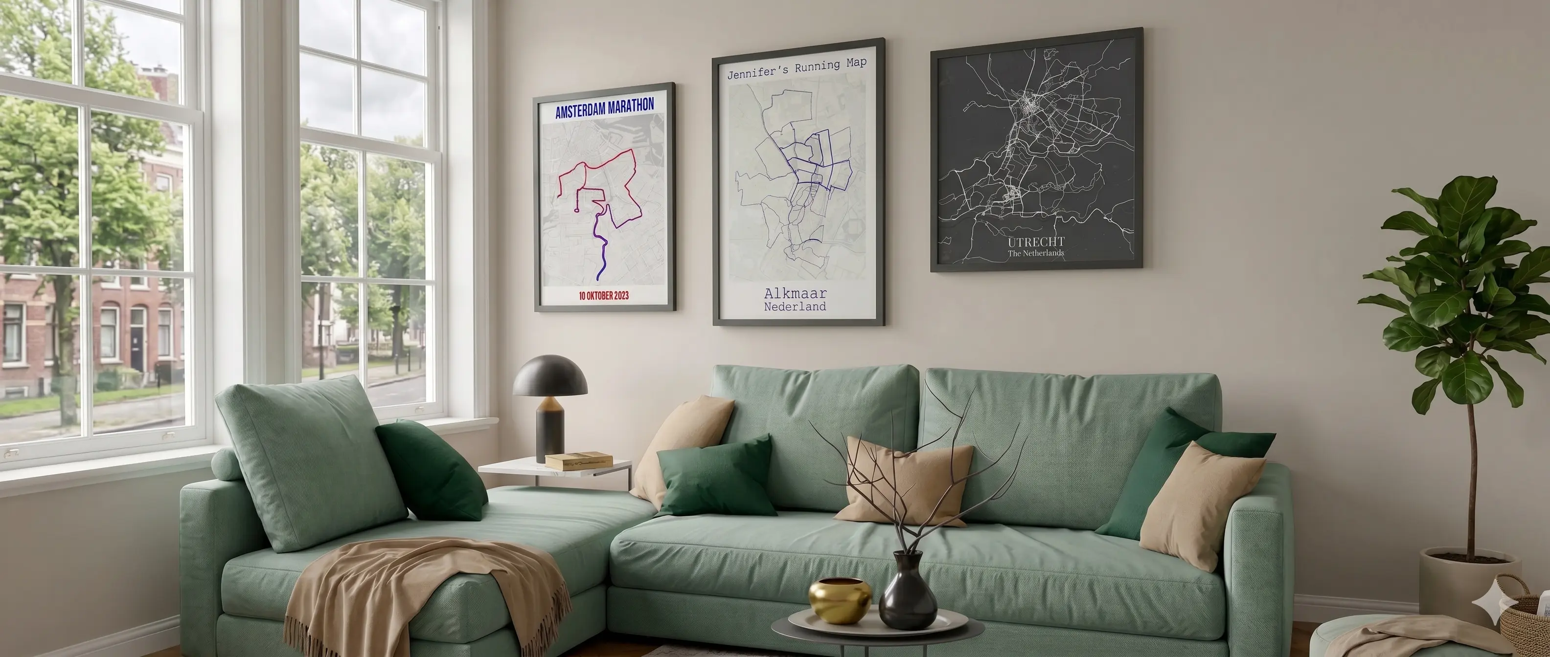
A BQ does not happen in a single training cycle. It takes races, adjustments, and probably a few near-misses before the start line in Hopkinton. Then Heartbreak Hill at km 32, the loudest kilometre in marathoning at Wellesley, and the turn from Hereford onto Boylston: the roar hits before you even see the finish. A custom poster of that exact route, with your name and time, is not a memento. It is the evidence.
✓ Free preview · No account needed
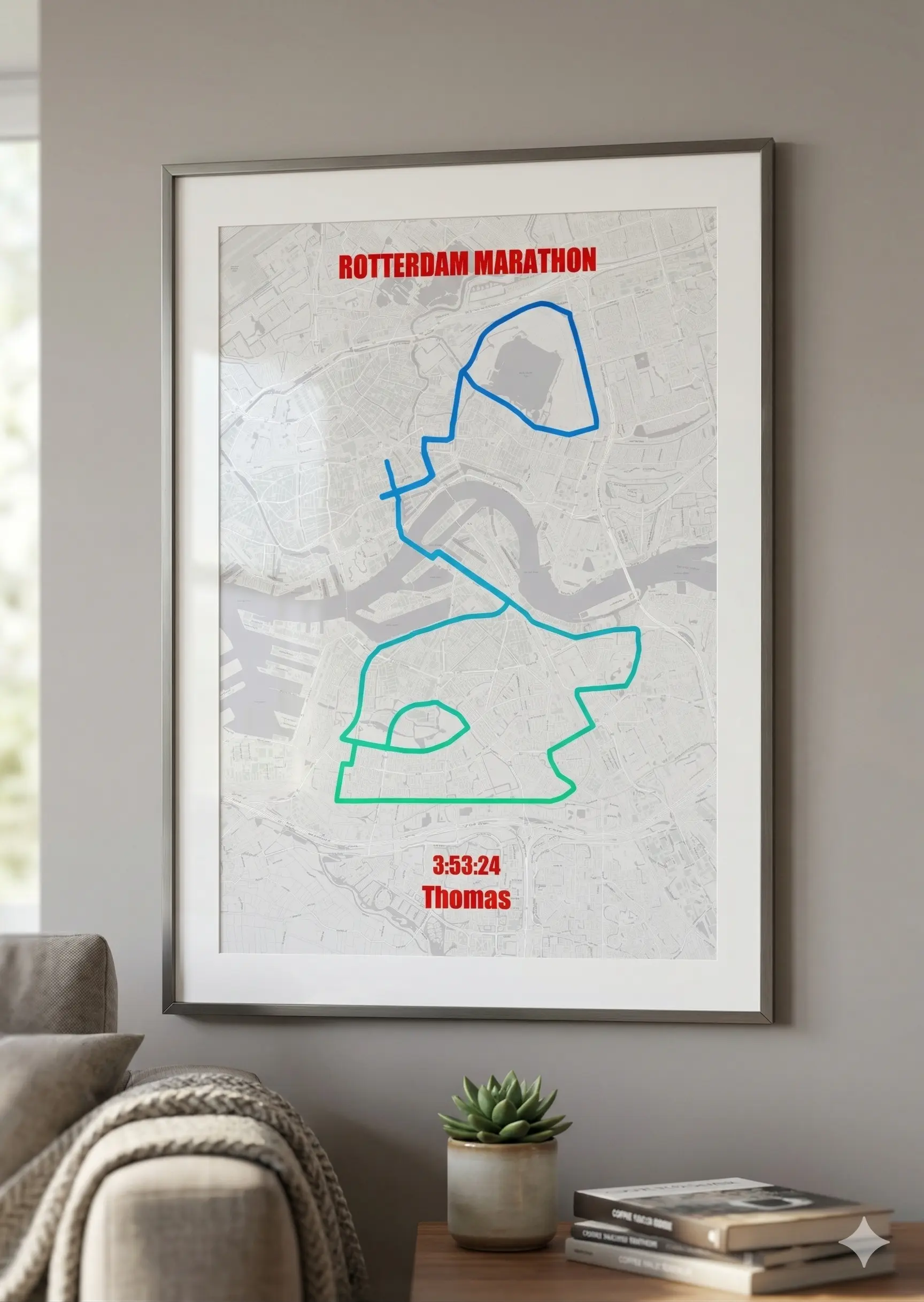
People who run Boston do not need another medal. They already own the most sought-after one in the sport. What they want is something that captures the weight of what they did: a print of the full 42.195 km from Hopkinton to Boylston, with their name and time on it. That goes on the wall.
“MyAdventureMaps is perfect for anyone looking to create a print from their Strava data, which is something I like to do following a big race. I used it to create a poster for the Great Welsh Marathon.
I’ve used similar tools/services in the past, but most are overpriced or they’re free but so limited that you can’t really create what you want. MyAdventureMaps seems to be the best option out there at the moment.
Highly recomended.”
Tony Robinson, United Kingdom ★★★★★
Real review from Trustpilot, quoted as written.
Pricing
Free preview
Free
Low-resolution Strava poster
Digital download
High-res Strava poster PNG and PDF, printable anywhere as a custom race print
✓ Free preview available. Upgrade for full resolution.
Premium marathon wall print
From €24.95 · Incl. VAT & free shipping
🎁 The marathon gift that goes on the wall
Paper
240gsm
Shipping
Free
The Race
Since 1897, Boston has required a qualifying time to enter. Nobody stumbles in. The course punishes runners who go out too fast: the Newton Hills build, Heartbreak peaks at km 32, and only then do you descend to the roar of Wellesley and the final sprint down Boylston. Getting here takes years of training. What you get is a race unlike any other.
Boston is the oldest annual marathon on earth. Every April since 1897, with very few exceptions. The weight of that history is in every step on Boylston Street.
The Newton Hills build from km 27 and peak at Heartbreak around km 32. The climb is on your poster exactly as you ran it: every metre of it, in your GPS trace.
The point-to-point course from a quiet town to the middle of downtown Boston covers 42.195 km. The descent is real, but the Newton Hills make sure you earn every minute of it.
The Wellesley scream tunnel is the loudest single kilometre in marathon running. Then Hereford Street, the left turn onto Boylston, and the roar of the crowd reaches you before the finish line does.
You trained years for a BQ. Your poster shows your exact GPS trace from Hopkinton to Boylston, your time, and your name. Not a generic map. The race you specifically ran.
2 minutes
Click the button below and the Boston Marathon route opens instantly in the editor. Or connect with Strava to use your own personal GPS trace from race day for a fully personalized Strava print.
Choose from 12 map styles, pick your colors, and add your finishing time, name, and a personal title. Live preview as you go. What you see is what you get.
Download a high-res digital file for €7.95 and print it yourself anywhere. Or order a premium marathon wall print from €24.95, ready to hang and delivered to your door.
✓ Free preview available. Upgrade for full resolution.
Also available
Create a custom Strava poster or race print for any of these events too.
Beyond the race
Connect Strava and put every run, ride, or hike on a single heatmap poster. Not just the race.
Turn 42.195 km from Hopkinton to Boylston Street into a custom Strava poster.
Customize your Boston Marathon Poster →100% Satisfaction Guarantee
Not happy? You get your money back, no questions asked.
Boston runs point-to-point, from the start in Hopkinton all the way into the city, so a single route shows that full line uninterrupted, one straight shot across the state rather than a loop. If you would rather see Boston as one line among many, heatmap mode sets it inside everything else you have logged instead of pulling it out as the only thing on the page.
Boston is not flat. The opening miles drop hard out of Hopkinton, and then the Newton hills arrive right when your legs are already tired, cresting at Heartbreak Hill around mile 20. Coloring by elevation earns its place on this course, since there is real terrain to show. A plain color still works if you would rather keep the print clean and let the point-to-point shape of the route speak for itself.
The preloaded course already runs point-to-point from Hopkinton to the finish on Boylston Street. From there you can change the map background, adjust the route color and thickness, and add your name, finish time, and a title. Connect Strava or upload your own GPX file if you would rather show the exact line you personally ran instead of the official course.
Yes. Color the route by elevation and the climb through the Newton hills and up Heartbreak Hill around mile 20 will visibly stand out from the flatter miles around it. Coloring by pace does the same job, showing exactly where the effort spiked on that stretch. Either option turns one tough section of the course into something you can actually point to on the print.
Most people running Boston chased a qualifying time to earn the spot, so we know how much the specific year matters. If the edition you ran does not match what is loaded, send us the GPX file and we will get it added rather than leaving you to fix it by hand.
More questions? See our full FAQ page.
