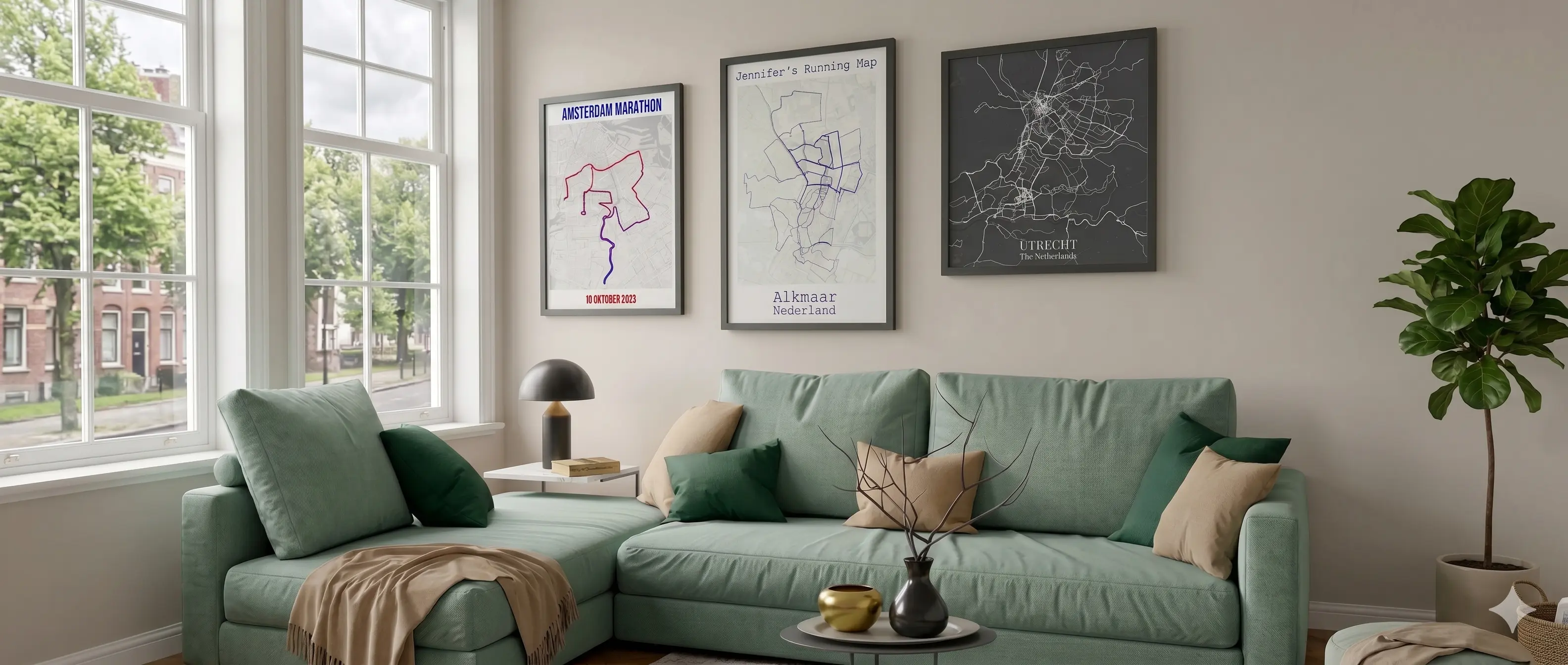
From a lit loop along the canals to a long endurance run out to Rhijnauwen: eight hand-picked routes through the city, its forests, and the polder country around it. Every route comes as a free GPX file for your watch, plus its own map in the editor if you want it on your wall.
✓ Free GPX download · No account needed
For Garmin, Suunto, Coros or Apple Watch. Leave your email and the zip is ready.
Interactive map
Click a route in the list to zoom in on it. The map loads the eight real GPX files from this page.
Overview
| Route | Distance | Training focus |
|---|---|---|
| 1. Canal Ring Loop | 8.2 km | Recovery / tempo |
| 2. The Ribbon (Maximapark) | 9.2 km | Zone 2 long run |
| 3. Amelisweerd & Rijnauwen | 7.1 km | Nature run |
| 4. Wilhelminapark & Kromme Rijn | 4.4 km | Short shakeout |
| 5. Griftpark & Noorderpark | 11.8 km | Long run |
| 6. Kasteel De Haar & Haarzuilens | 5.5 km | Sightseeing run |
| 7. Nedereindse Berg | 2.3 km | Hill repeats |
| 8. Science Park & Rhijnauwen | 8.3 km | Long endurance run |
Distances are the actual length of the GPX file, measured along real paths, not rounded estimates.
📏 Distance
8.2 km
🥾 Surface
Almost entirely paved
💡 Lighting
Yes, the whole way
🎯 Training focus
Recovery or a brisk tempo run
The canal ring around Utrecht's old center is the loop most locals run first, and for good reason: it sits within walking distance of nearly every neighborhood, stays lit after dark, and follows a wide, paved path along the water almost the entire way. You'll pass the Weerdsingel, the Leidsekade by the Jaarbeurs convention center, the south side of the Catharijnesingel, and finish along the Maliesingel past Wilhelminapark.
It's not a quiet route: cyclists, dog walkers, and other runners share the path, especially during rush hour. What it does offer is predictability. No surprises in the pavement, no confusing signage, and a side street back home at any point. That makes it a solid recovery run after a hard session, or a way to squeeze in a tempo block after dark without needing a headlamp.
📏 Distance
9.2 km
🥾 Surface
Smooth asphalt, car-free
💡 Lighting
On parts of the route
🎯 Training focus
Zone 2 long run
Het Lint, "the Ribbon," is the official walking and running path that winds like a ribbon around Máximapark in Leidsche Rijn, six meters wide, entirely car-free, and about as flat as Utrecht gets. That combination makes it the best spot in the city for a genuine Zone 2 long run: no traffic lights, no sharp turns around obstacles, and a surface that feels the same kilometer after kilometer.
Along the way you'll pass Kasteel De Wetering, open meadows where locals pick fruit in summer, and on the south side Castellum Hoge Woerd, a reconstructed Roman fort with a small museum inside. If the full eight or nine kilometers is more than you want, the park is criss-crossed with shorter connecting paths back to the edge, so you can cut the loop short at almost any junction.
📏 Distance
7.1 km
🥾 Surface
Forest trail and gravel
💡 Lighting
No
🎯 Training focus
Easy nature run
Amelisweerd and Rijnauwen are the green estate that sits on the far side of the A27 highway, and yet you'd barely know the highway was there once you're past the underpass. Centuries-old oak avenues, a winding Kromme Rijn river, and a handful of tea houses make this the loop for anyone who'd rather zone out than watch the clock.
The surface switches between narrow forest trails and wider gravel paths, with roots and loose stones in places, so this isn't a route to run on autopilot. Fort Rijnauwen, one of the old defensive positions from the Dutch Waterline, sits tucked among the trees and makes a good spot to pause before closing the loop.
📏 Distance
4.4 km
🥾 Surface
Paved park and river path
💡 Lighting
Mostly
🎯 Training focus
Short shakeout or warm-up
This is the loop for a day when you don't really have time but still want to get outside. Wilhelminapark is one of the city's finest nineteenth-century parks, with broad paths under old trees, and connects directly to a quiet stretch of the Kromme Rijn toward Rijnsweerd.
Its modest length makes it a good warm-up before an interval session elsewhere, or a complete easy run on its own. The park section gets busy with walkers and kids during the day, so expect some weaving, while the riverside stretch is usually quieter.
📏 Distance
11.8 km
🥾 Surface
Paved, some natural path
💡 Lighting
Mostly
🎯 Training focus
Long run
This route starts urban and ends open. Griftpark, built on a former gasworks site, is one of the greenest spots inside the ring road, complete with a community garden and a small amphitheater. Keep heading north from the park and the scenery gradually shifts from city park to the sprawling Noorderpark, where the horizon suddenly opens up. At almost 12 kilometers this is the longest city-edge route on this list, so treat it as a real long run, not a casual stroll.
It's a good route for building pace as you go: the first kilometers weave between trees and cyclists, the later ones give you more room to open up. Head toward Overvecht and you'll watch the city fade behind you until only a few spires remain on the skyline.
📏 Distance
5.5 km
🥾 Surface
Gravel paths and avenues
💡 Lighting
No
🎯 Training focus
Countryside sightseeing run
Kasteel De Haar is the largest castle in the Netherlands, and the grounds around it are surprisingly extensive for anyone who's only seen its towers from a distance. The route winds along the estate's long avenues, past ponds and formal gardens, with a loop through the village of Haarzuilens sitting right next to the gate.
This isn't a route for speed, the gravel paths and loose cobblestones through the village make sure of that, but it delivers plenty of variety. Every few hundred meters the scenery shifts from castle garden to farmyard to forest, which makes the distance feel shorter than it is. Expect it to be busier on weekends, when the castle itself is open to visitors.
📏 Distance
2.3 km · ±11 m
🥾 Surface
Paved loop around the lake
💡 Lighting
On parts of the route
🎯 Training focus
Hill repeats
Utrecht is flat, so if you want any elevation at all, you head for one of the handful of man-made hills nearby: the Nedereindse Berg at recreation area De Nedereindse Plas, right on the edge of Nieuwegein. Honestly, the "berg" (mountain) is modest, about eleven meters of climbing over a few hundred meters, but in a city with no hills at all, that's already enough to build a real interval session around.
The base route is a flat, paved loop around the lake, fine to run on its own or as a warm-up. For the repeats, run or ride over to the cycling and skating hill itself and do a series of short climbs there, exactly the kind of strength work that's otherwise hard to find anywhere else in the city.
📏 Distance
8.3 km
🥾 Surface
Mixed: bike path, forest trail
💡 Lighting
On the urban section
🎯 Training focus
Long endurance run
The longest route on this list connects two very different places: the modern Utrecht Science Park, where the Uithoflijn tram line ends between hospitals and university buildings, and Rhijnauwen, the estate on the opposite side of the city where time seems to slow down. In between, you'll pass through Amelisweerd, cross the Kromme Rijn, and skirt the edge of Lunetten.
It's a route of two halves: busy and urban for the first kilometers as cyclists head to class, then progressively quieter as the trees close in. Solid material for a long run building toward a half marathon, with a natural rest stop at Theehuis Rhijnauwen if you need to refuel along the way.
How these routes were made
These eight GPX files were built from OpenStreetMap's walking and cycling paths, not copied from an existing GPS recording. We checked each path for odd detours, but it's still no substitute for looking around as you run: if the route and reality don't quite line up somewhere, just follow the actual path.
Connect Strava or upload your own GPX file and put a whole season of Utrecht runs on one poster.
Design your own map →Mostly, but they aren't GPS recordings of someone actually running the route. We built them from OpenStreetMap's walking and cycling paths and checked each one for odd detours. A temporary closure, construction, or a newly built stretch of path won't necessarily show up. If the route and reality disagree somewhere, just follow the path.
Yes. They're plain GPX 1.1 files with a single track, readable by nearly every watch and bike computer regardless of brand.
Yes. Underneath each route is a button that opens it directly in the map editor. Customize it, then preview it free at low resolution or order it as a digital download or print.
Every route follows real paths, not a straight line between a handful of points. A path that curves around a pond or a flowerbed adds up fast compared to the straight-line distance. We always quote the real distance measured from the GPX file, not a rounded guess.
Canal Ring Loop and The Ribbon are fully lit and work well for an evening run. The nature routes through Amelisweerd, Rijnauwen and around Kasteel de Haar have long unlit stretches, so plan those for daylight or bring a headlamp.
More questions? See our full FAQ page.
